-40%
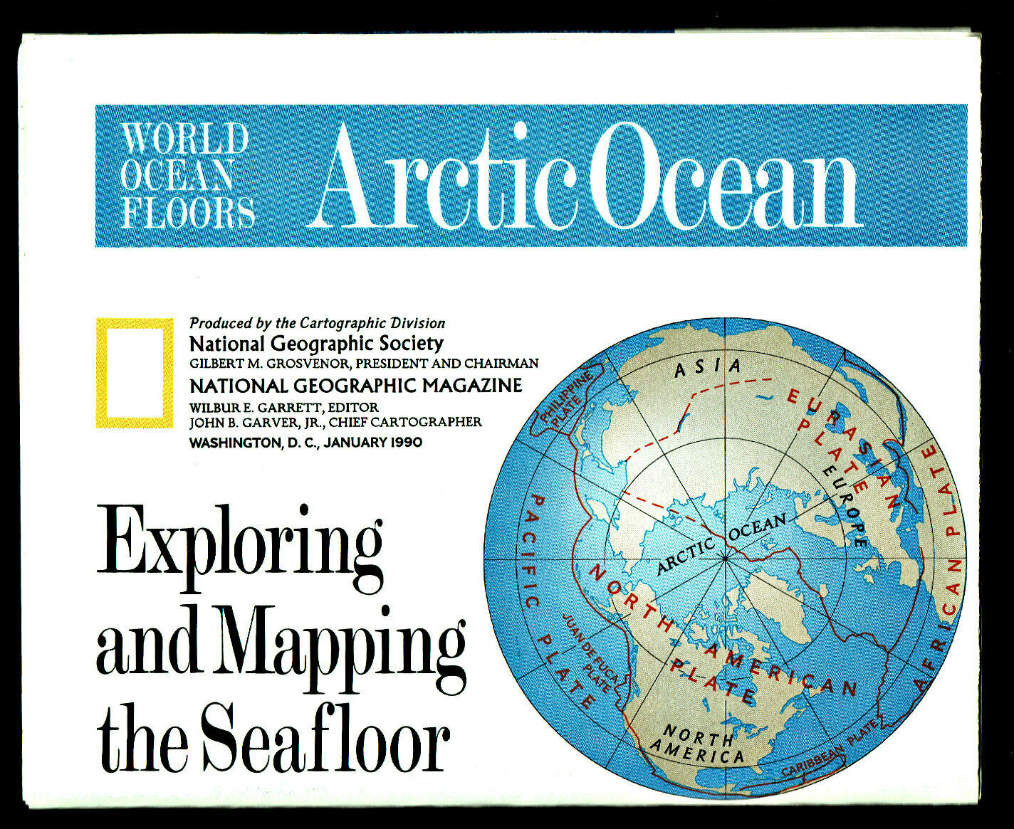
⫸ 1990-1 January Map ARCTIC ATLANTIC OCEAN SEAFLOOR National Geographic B (XL)
$ 0.52
- Description
- Size Guide
Description
1990-1 Exploring & Mapping the Ocean Seafloor, Arctic & Atlantic Oceans – National Geographic Map PosterEver since the 4
th
century, man has been curious about exploring the seafloors. With acoustical mapping, computers, high-intensity lighting, and unmanned submersibles, underwater archaeology is becoming a true reality. This
fascinating
map provides excellent detail of the floor of the Arctic Ocean on one side and the Atlantic Ocean plus parts of the South Pacific on the other. There is also an explanation of the technology behind these amazing maps.
An excellent companion map would be our 1992-6 World Ocean Floors; Pacific Ocean / Indian Ocean
Map is approximately 31" x 20".
The National Geographic is known for it's fine maps & detailed information.
Supplement to the National Geographic Magazine; magazine is not included.
Always use your cart to obtain any discounts!
U.S. Shipping
- Please select:
1) USPS Mail Service or Media Mail (average delivery time) .50 for the first item and 50
¢ for each additional item.
2) USPS Package Service (faster delivery and with tracking) .00 for the first item and 50¢ for each additional item.
SAVE - MAP SALE - Select ANY 5 Maps - The lowest priced item is
FREE
- See eligible items above (top left).
x
x
x
